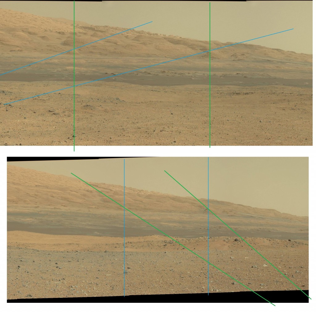
The foothills of Mount Sharp have been a backdrop for Curiosity’s movements since it landed, and it’s movements in the first few months did not significantly change the perspective. Now with the traverse to the southwest towards a “base camp” for the ascent of Mount Sharp, we can see a shift in the view.
Here is a section of a recent sol 421 panorama compared with the corresponding portion of a sol 3 panorama made at the landing site. As I estimate them, the blue lines are radials from the landing site, and they appear as vertical lines in the sol 3 panorama, and the same for the green lines and the sol 421 panorama.
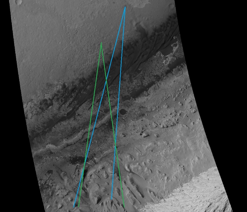
Here is the Hirise view of the location, which is the basis for some of the progress maps periodicially published on the MSL web page. I’ve drawn in an estimate of the lines of sight in the panoramas, as seen from above.


